GPS and GNSS Receivers for Construction
A GNSS rover lets one person stake points, check grades and measure as-builts anywhere there's open sky, without setting up a total station. Datum Tech Solutions is a Leica Geosystems Authorized Service and Distribution Partner for Leica iCON GNSS, and our team helps you set up corrections, controllers and software so the system works on day one.
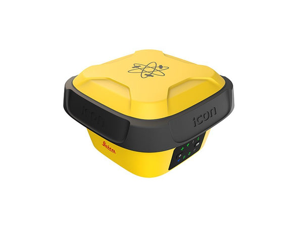
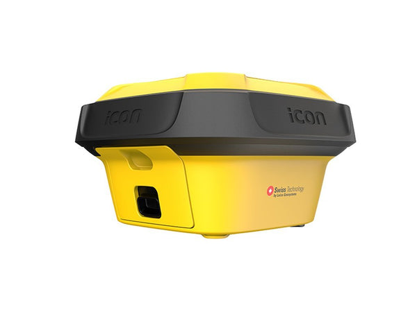
Leica iCON GPS 70 T
The iCON GPS 70 T is a construction smart antenna built for site layout and grade checking:
- Tilt compensation: an integrated IMU corrects for a tilted pole, so you can measure without leveling the bubble at every point.
- Base or rover: use it as a rover on a network, or as your own construction base station.
- Flexible corrections: network RTK over cellular, or a 900 MHz UHF radio model for sites without coverage.
- Works with iCON field software on Leica CC200, CC180 and CS35 controllers.
Corrections: network RTK or your own base
Most crews run on network RTK. A subscription such as Leica SmartNet delivers centimeter corrections over cellular with no base to set up or guard. Where coverage is weak, or the project needs its own control, a UHF base and rover pair does the same job by radio. Not sure which fits your area? Ask our team and we'll check coverage before you buy.
GPS or a robotic total station?
GNSS is fastest for open sites, earthwork, utilities and long runs. Indoors, under structures and for tight tolerances, a robotic total station is the better tool. Many contractors run both from the same iCON controller.
Rent, service and support
Need a rover for one project? See GPS rentals. Our service center handles repair and calibration for GNSS equipment along with total stations and lasers: see Leica repair and calibration. For poles, bipods, cases and batteries, browse accessories.