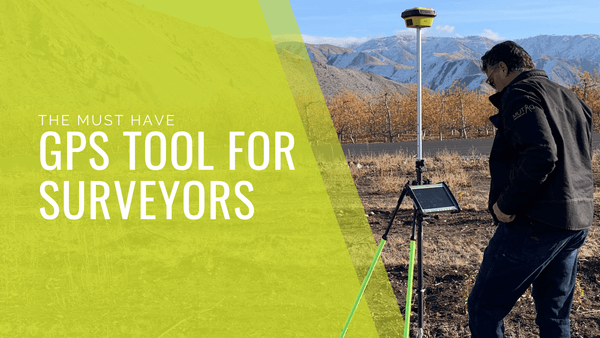
Technology and Innovation in Today's AEC Community

New technology enables the AEC (Architecture/Engineering/Construction) community to accomplish projects at a quicker rate than ever before. With the latest laser scanning tools and point cloud systems, the process of planning, design, building, and construction of projects, is streamlined. From concept to delivery, there is less room for errors, efficiency, and workflow is improved.
Engineering.com's AEC technology survey measured the acceptance of technology by structural engineers, architects, civil engineering professionals, designers, and people working in the construction and building trades. Let's take a look at emerging technologies in the AEC community.
Data Storage Systems
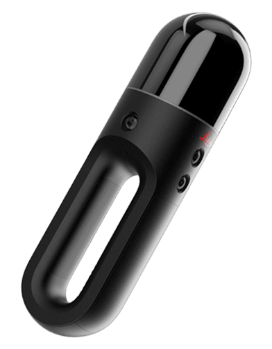
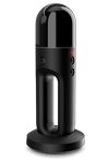
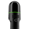
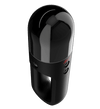
Laser scanners provide us with a great deal of data for building projects, and it makes sense to back up that data on the cloud. If the files are stored in the cloud, then the data and the intellectual property of the firm is preserved. There is a threat of security, but for the most part, when it comes to data and files, the cloud gives architects or engineers access to information they need quickly.
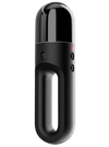
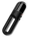
Explore Datum Tech Solutions’ range of data storage tools.
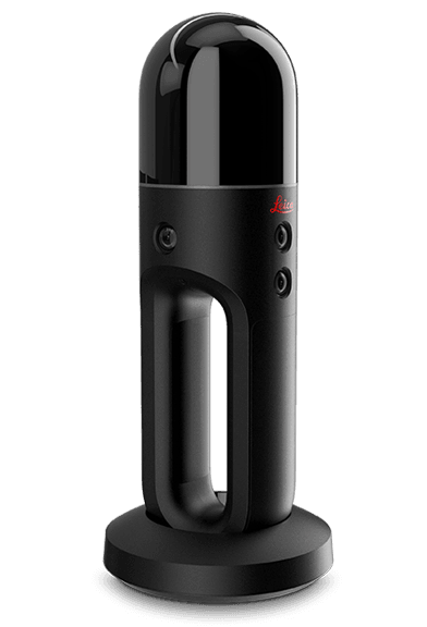
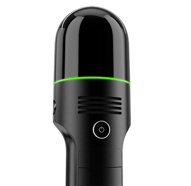
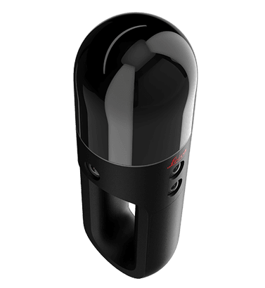
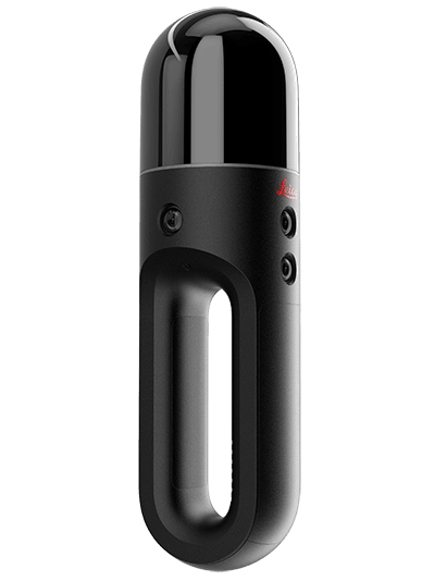
Aerial Laser Scanning
Datum Tech Solutions' innovative Drone Software seamlessly captures data and is the best software that the industry has to offer. Drones can travel where humans can't, and they can capture hard-to-survey areas and structures. Drones give the AEC community greater access to extract data to create 3D renderings of an object or building.
Ground Laser Scanning
Laser scanning is a great way to map existing buildings and sites. In our "Scanning the Impossible" series, we've shown you how, with the right tools, any object can be scanned. These tools save us time and money because they can capture data at quick speeds (in some cases in under a few minutes.)
Related: Maximizing the Value of Laser Scanning: Quality Control and Training is Always Key
Point Cloud Technology
A point cloud is a large set of data points produced by a 3D laser scanner. This data can be used in rendering customized applications and different designs that an architect or engineer may encounter. While 3D scanners are becoming more popular, Datum Tech Solutions offers training and services to get your team up to speed on using the latest tools. According to the technology survey, "the AEC community will be able to collaborate better with other disciplines when such technology exists and when more parties are using the same essential type of scanning technology."
Embracing BIM
BIM has evolved to provide the most useful digital tool for project execution. It adds efficiency to projects by extracting and exchanging BIM files. It's used by many in the project team structure and is central to the design and construction industry.
When using new tools, it's not unusual to experience a learning curve. Datum Tech Solutions is renowned for our comprehensive training and support on Building Information Modeling (BIM) solutions. Contact us today to learn about products and services.