How the Leica RTC360 Works: Real Examples and Workflow
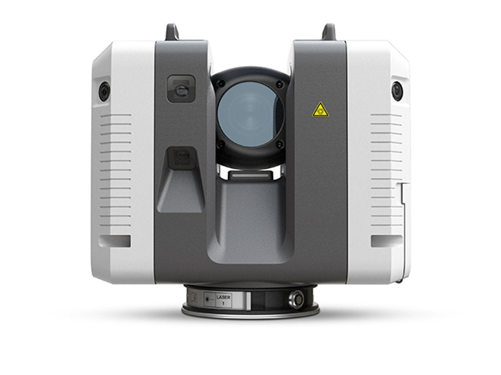
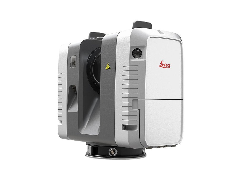
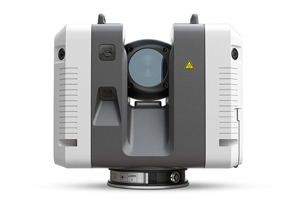
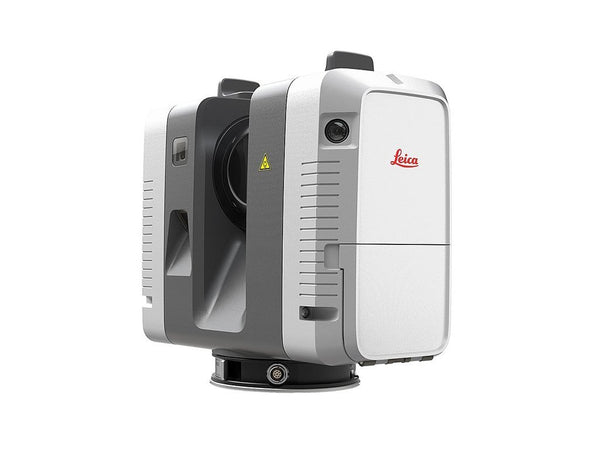
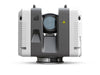
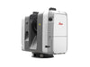
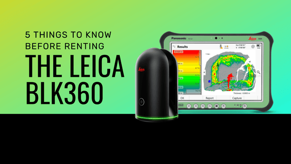
The Leica RTC360 captures a full scan with HDR imagery in under two minutes, at up to two million points per second, and aligns each scan to the last while you work. That last part is what changes a working day, and it is the part specification sheets undersell.
Here is what an RTC capture actually looks like from setup to finished point cloud, and a real example of what comes out the other end.
One note before we start. The RTC360 is no longer in production. Leica has succeeded it with the RTC300, RTC500 and RTC700, which share the same workflow described below and extend the range from 85 to 270 metres. We still rent the RTC360 and we still service it, so if you own one this all still applies. If you are buying, see the current RTC range.
The workflow, start to finish
1. Walk the space first
Before anything comes out of the case, walk the area and plan scan positions. The laser travels in a straight line, so any surface without a clear view of the instrument is not captured. You are looking for what will be hidden: the far side of columns, the space above duct runs, the inside of stairwells.
This is five minutes that saves an hour. The most common failure on a scan project is discovering a shadow after leaving site.
2. Set up and start
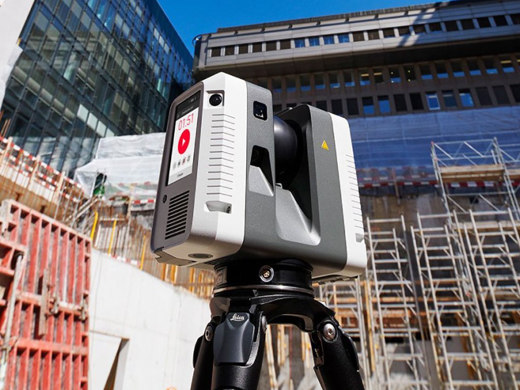
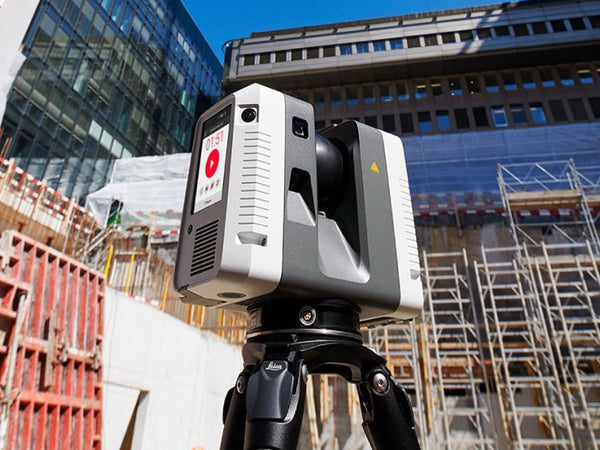
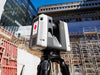
The RTC360 goes on a tripod, levels, and starts from the on-board controls or a tablet. There is one button to begin. The instrument sweeps a full dome, capturing geometry and HDR imagery, and finishes in under two minutes.
Under two minutes matters more than it sounds. On a job with fifty setups, a scanner taking six minutes per scan costs you more than three additional hours of standing around.
3. Move, and let the instrument track itself
This is the RTC360's defining feature. As you carry it to the next position, visual inertial technology tracks its own movement, so it knows roughly where the new setup sits relative to the last one. Scans pre-register in the field as you go.
The practical consequence is that you can see your registered data building up on the tablet while you are still on site. You are not hoping the scans will align later. You can see that they have.
4. Check coverage before you leave
Because registration happens live, you can look at the combined cloud on site and find the gaps while you are still standing in the building. Fill them with another setup. This is the single biggest advantage over a workflow where registration happens back at the office, because a gap found in the office is a return trip.
5. Set control if the data has to tie to coordinates
The RTC360 produces geometry that is accurate within itself but sitting in its own coordinate system. If the point cloud has to line up with a design model, or with a scan you take next year, you need control. Place targets and shoot them with a total station, and the cloud lands in real site coordinates.
It also gives you an independent accuracy check: measure between two targets with the total station, compare against the same distance in the cloud. More on why a total station belongs on a scanning job.
6. Register and deliver
Field registration gets you most of the way. Final registration in the office refines it, and from there the cloud is cleaned and exported in whatever format the receiving team needs, or modeled into Revit or AutoCAD if the deliverable is a model.
Agree the format before the scan rather than after. More on point cloud formats and deliverables.
A real example: the World Peace Bell
We put the RTC360 up against the World Peace Bell in Newport, Kentucky. At 66,000 pounds and 12 feet in diameter by 12 feet high, it is the world's largest free swinging bell.
Our co-founder Stanley Lawrence stood underneath it and asked the obvious question: was it possible? Could the World Peace Bell be scanned?
Within minutes the RTC360 was set up and running. The results showed the instrument handling a large, complex, highly detailed structure with curvature in every direction and heavy ornamentation, which is a genuinely hard capture. It is a long way from scanning a rectangular room.
Read the full World Peace Bell scan
Where an RTC scanner fits, and where it does not
It is the right instrument for: construction verification, existing conditions on large buildings, industrial and plant capture, historic structures, forensics, and generally any job with many setups where field registration saves real time.
Look elsewhere for: long range civil work, where the RTC700 reaches 270 metres and adds survey functions. Fast coverage of very large floor plates, where a handheld BLK2GO covers ground faster. And highly reflective or transparent surfaces, which are difficult for any laser scanner and worth planning around before you arrive.
Full comparison of the Leica scanner range
Try one on your own project
The fastest way to know whether an RTC scanner suits your work is to run one on a live job. We rent them, calibrated and complete as a working kit, shipped nationwide. If you buy afterward, ask about applying rental spend toward the purchase.
Which one to rent. The RTC360 is still in our fleet and is the cheapest way to try this workflow. If you are evaluating with a purchase in mind, rent from the current range instead so you are testing what you would actually buy. The RTC300 covers 85 metres, the RTC500 130 metres, and the RTC700 adds 270 metre range plus survey functions like resection and traverse.
See the RTC range | Rent an RTC scanner | Full scanner comparison with specs
Or have us scan it
If you need the deliverable rather than the instrument, our crews travel nationwide, capture the site and hand over finished data in the format your team uses.