The Best 3D Laser Scanners in 2026, Ranked by Use Case
There is no best 3D laser scanner, and any list that says otherwise is selling something. There is a best scanner for capturing a hotel floor plate, a different one for a live industrial site, and a different one again for a bridge you are measuring from 300 meters away.
So this list is ranked by what you are scanning. Find your situation, get the instrument, skip the rest.
We sell, rent, service and calibrate everything below, and our own crews run these on live projects. Where an instrument has a real weakness, it is stated.
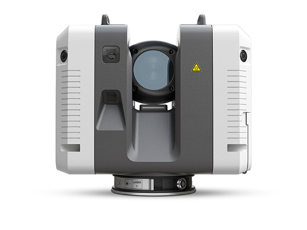
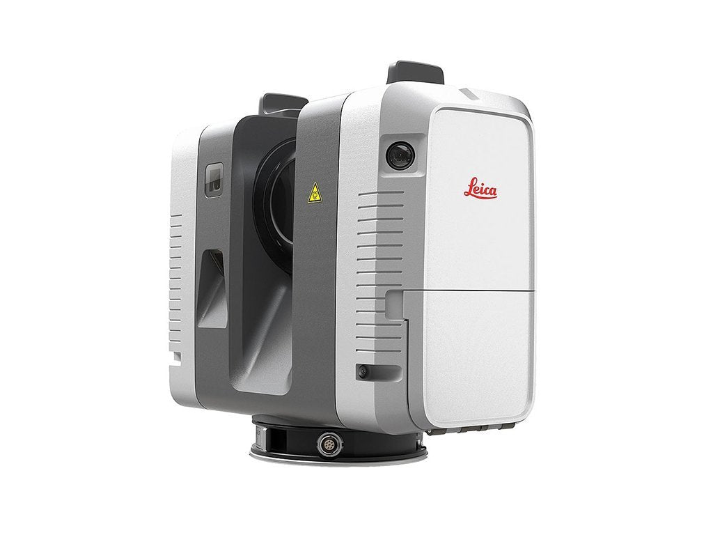
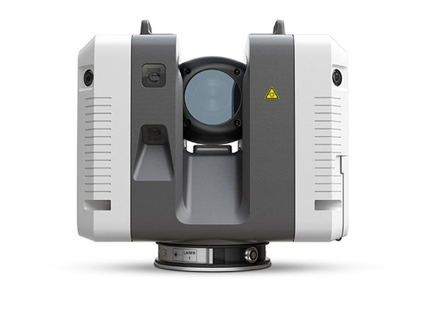
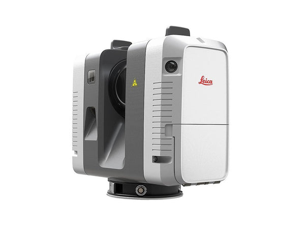
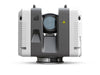
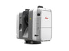
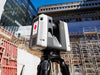
Best all-around production scanner: Leica RTC500
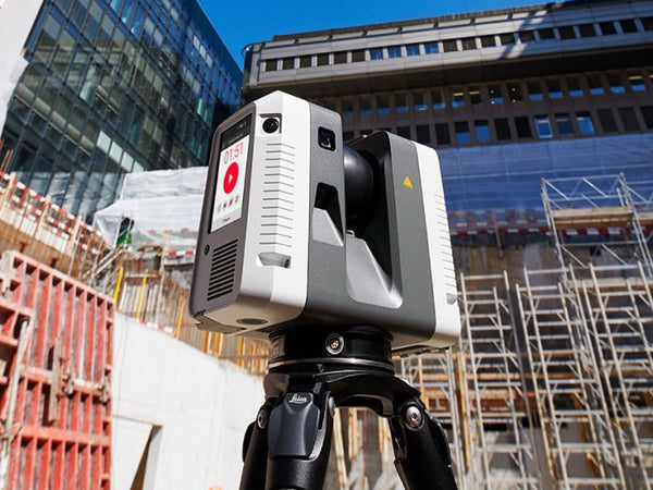
If you are going to scan regularly and you want one instrument that handles most of it, start here. Two million points per second, 130 metres of range, 1.5mm accuracy at 10 metres, and an IP55 body rated from -20 to +50 C.
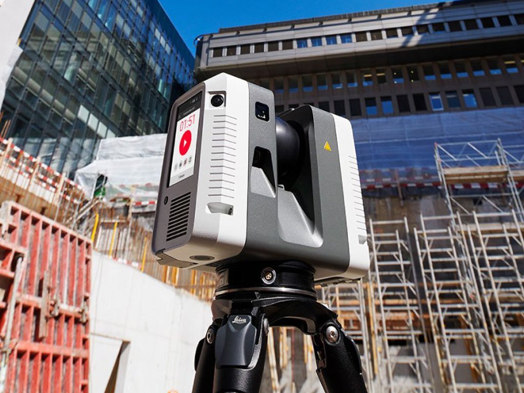
The feature that changes your working day is automatic registration in the field. The scanner tracks its own movement between setups so scans align as you go, and you know the data is complete before you leave. The RTC series adds real-time interconnectivity between field and office on top, so a colleague can see the project building up while you are still on site.
Best for: construction verification, existing conditions, industrial and plant capture, forensics, anything where you are moving through a site making many setups.
Weakness: at 5.6kg it is not something you carry up six flights by choice, and if your sites are consistently small the RTC300 saves money for the same accuracy.
If you were looking for the RTC360: this range succeeds it. The RTC360 is out of production. We still rent it and still service it, so if you own one nothing changes, but if you are buying, buy from this range.
The newer RTC family: RTC300, RTC500 and RTC700
Leica has extended the RTC line into three tiers. They share a body, a 12 megapixel six camera imaging system and the same 1.5mm at 10 metres accuracy. What separates them is range, scan rate and, on the RTC700, full survey functionality.
| BLK360 | RTC300 | RTC500 | RTC700 | |
|---|---|---|---|---|
| Maximum range | 45 m | 85 m | 130 m | 270 m |
| Scan rate | 680,000 pts/sec | 1 million pts/sec | 2 million pts/sec | 2 million pts/sec |
| 3D accuracy | 4 mm @ 10 m | 1.5 mm @ 10 m | 1.5 mm @ 10 m | 1.5 mm @ 10 m |
| Imaging | 13 MP, 4 cameras | 12 MP, 6 cameras | 12 MP, 6 cameras | 12 MP, 6 cameras |
| Ingress protection | IP54 | IP55 | IP55 | IP55 |
| Operating temperature | 0 to +40 C | -20 to +50 C | -20 to +50 C | -20 to +50 C |
| Survey functions | No | No | No | Resection, traverse, known backsight |
| Weight | 0.85 kg | 5.6 kg | 5.6 kg | 5.6 kg |
How to read that table. The jump from BLK360 to RTC300 buys you accuracy and weather tolerance. The jump from RTC300 to RTC500 buys you range and speed. The jump to RTC700 buys you range again, finer resolution settings, and survey functionality: the RTC700 can set up over a known point, resect, traverse and measure targets to 75 metres, which none of the others can.
All three of the RTC models add automatic self-calibration, GNSS, and real-time interconnectivity between field and office that the BLK360 does not have.
Which to choose. If you are scanning building interiors and want something you can carry all day, the BLK360 at 0.85kg against 5.6kg is a serious argument on its own. If you need accuracy under 2mm, start at the RTC300. If your sites are large or open, range is what you are buying, so go to the RTC500 or RTC700. And if you want the scanner to do survey work rather than needing a total station alongside it, the RTC700 is the only one in this group that does it.
Ask us which RTC fits your work
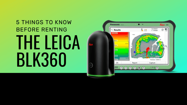
Best for architecture and interiors: Leica BLK360 G2
At 0.85kg it is the lightest scanner here by a factor of six, and it operates from one button or a tablet. Range is 45 metres, accuracy 4mm at 10 metres, and the 13 megapixel four camera system captures HDR imagery in about 20 seconds.
What makes it the architectural choice is the software path. It works directly with Autodesk ReCap Pro, so if your deliverable is a Revit model the route from scan to model is short. It is also the instrument most people learn on, and most operators are productive within an hour.
Best for: architectural as-builts, renovation and remodel work, interior documentation, small to medium buildings, and teams scanning occasionally rather than daily.
Weakness: range and speed. On a large site you will make many more setups than with an RTC series scanner, and the day runs long.
Best for covering ground quickly: Leica BLK2GO
Handheld, roughly the shape of a flashlight, and it builds the point cloud while you walk. It uses SLAM, simultaneous localization and mapping, to work out its own position from what it sees, so there is no tripod and no setup.
This is the instrument for spaces that are awkward to set up in. Stairwells, corridors, plant rooms, anywhere a tripod would need moving every few meters. You capture over, under and around objects by walking there.
Best for: facility documentation, large floor plates, space planning, progress capture, and any job where coverage speed matters more than millimeter accuracy.
Weakness: mobile scanning is less accurate than tripod scanning. If the deliverable feeds fabrication, use tripod scans, or use the BLK2GO with tripod control.
Best for long range: Leica RTC700
270 metres of range, two million points per second, 1.5mm accuracy at 10 metres, and the finest resolution setting in the range at 0.8mm. It is also the only scanner here that does survey work in its own right: setup over a known point, known backsight, resection, traverse, and target measurement to 75 metres.
That last part matters more than the range for some teams. It means one instrument instead of a scanner plus a total station on jobs where you would otherwise need both.
Best for: civil infrastructure, bridges, tunnels, quarries, monitoring, and any job where you want survey control without carrying a second instrument.
Weakness: at 5.6kg and top of the range on price, it is more instrument than most building work needs.
If you were looking for the ScanStation P50: Leica has consolidated the P30, P40 and P50 into this range alongside the RTC360. We still service ScanStations. One honest caveat if you are replacing one: the P50 reached close to a kilometre and the RTC700 reaches 270 metres. That covers most civil work, but if you genuinely measure beyond it, talk to us first.
See the RTC range | What survey grade accuracy actually means
Choose by what you are scanning
| What you are scanning | Start here |
|---|---|
| Building interiors, renovation, architecture | BLK360 G2 |
| Active construction sites, verification | RTC300 or RTC500 |
| Plants and industrial facilities | RTC500 |
| Large floor plates, fast coverage | BLK2GO |
| Bridges, infrastructure, long range | RTC700 |
| Crime and collision scenes | RTC500 or RTC700 |
| Survey work without a separate total station | RTC700 |
Before you buy any of them, rent one
Specifications will not tell you whether an instrument suits how your team works. A day on your own site will.
Renting the scanner you are considering, on a real job, is the cheapest possible way to answer that question, and it is what we recommend to most people who ask us which to buy. We rent every instrument on this list and ship nationwide. If you buy afterward, ask about applying rental spend toward the purchase.
See rental equipment | Read the buying guide | How to prepare before your scanner arrives
Or skip the instrument entirely
If what you need is the data rather than the hardware, our crews travel nationwide, capture the site and hand over the finished deliverable in the format your team uses. For anyone scanning a few times a year, that is usually the cheaper answer.