How Laser Scanning Enhances Quality and Cut Costs For Busy Contractors
When you need products that are consistent, reliable, and offer precise results, laser scanners can scan, survey, and map large areas with accuracy. These tools can speed up building projects and streamline workflows.
The construction industry spends roughly $178 Billion on fixing errors according to a PlanGrid and FMI survey. Reworks can happen for a variety of reasons, and can impact project completion dates while incurring added costs. In the construction industry, measurement is the core step of any project. 3D Laser Scanning makes it easy to measure and document across all industries. With the 3D laser scanning tools, construction companies can experience fewer delays and minimize errors.
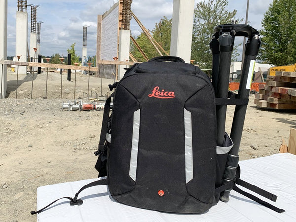
Tools in the Field
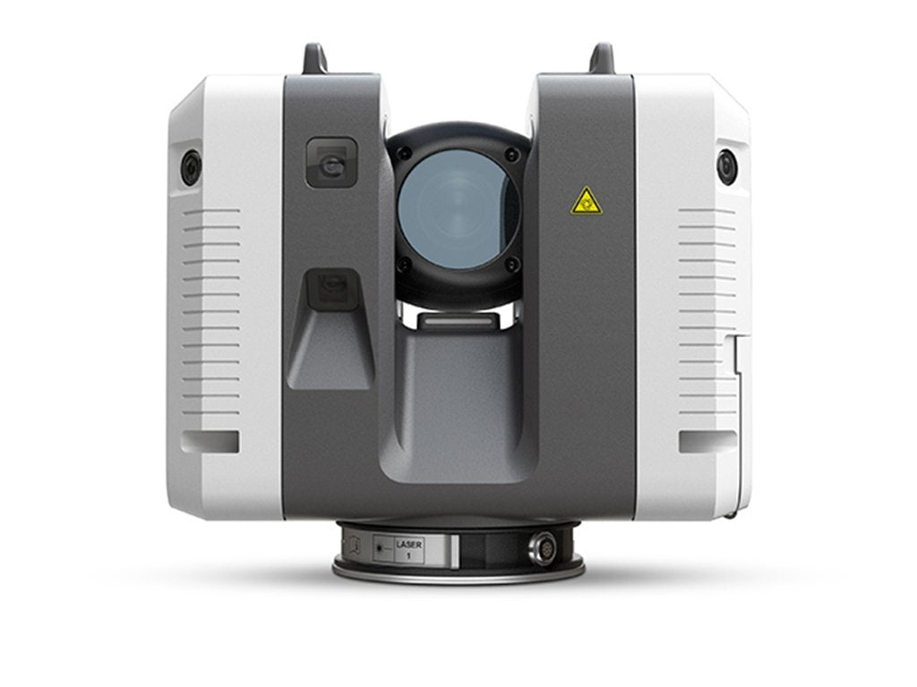
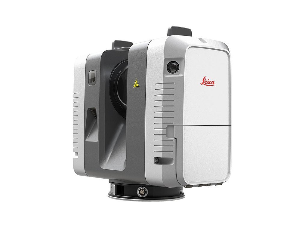
Contractors in all industries turn to the Leica RTC360 Laser Scanner for this easy to use, precise scanning tool that captures environments in 3D. Within minutes, the RTC360 collects data from your worksite, giving you high-quality imagery and spatial data to streamline your workflow. With a measuring rate of up to 2 million points per second and advanced HDR imaging system, the creation of colored 3D point clouds can be completed in under two minutes
With so many advances in scanning technology, a project that once took several hours to complete can now be done in a matter of minutes. When it comes to capturing images and dimensionally accurate point clouds in real-time, Leica Geosystems BLK2GO is fast, efficient and offers greater mobility for users. The BLK2GO handheld imaging laser scanner captures spaces in 3D as you move. With the push of a single button, you can now seamlessly scan using SLAM technology to record any given environment.
Scan&Go's Upside Down Tripod makes awkward underground spaces easily accessible for 3D scanning. The technology integrates traditional 3D scanning and surveying methods with motorized mobility and height and depth accessibility, to provide an entirely different perspective of how we look at our workflow. The bottom line - it speeds up the process and extends the range and accuracy of data capture.
Conclusion
Laser scanning is useful during various stages of a project's life. These tools give us data that can be used for more cost-effective solutions. Datum Tech Solutions offers training programs on both robotic and non-robotic Total Stations, 3D scanners, and Global Positioning Systems. To learn more about how laser scanning can enhance the quality and cut costs for contractors, contact us today!