3D Laser Scanning Services
Datum Tech Solutions Field Technicians are skilled at 3D mapping structures and environments. Through the use of terrestrial based LIDAR, mobile LIDAR, and drone photogrammetry, there are few industries that we haven't played a role in providing digital twins for.
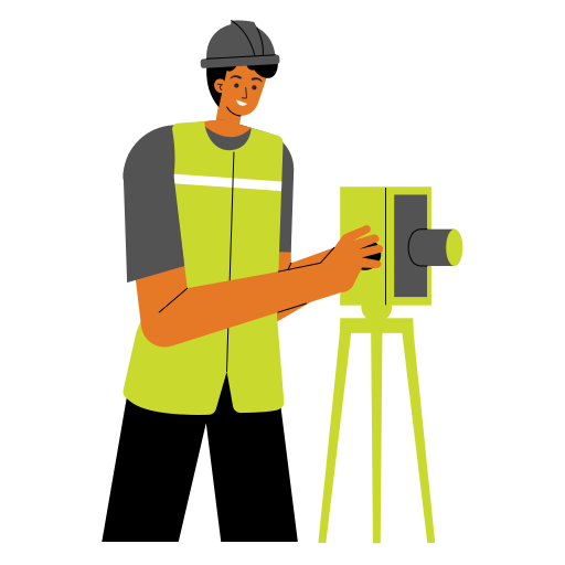
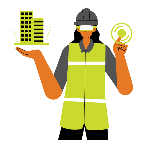
How Does Datum Tech Solutions Work?


Industries Benefiting From 3D Scanning
3D laser scanning is a popular tool for construction projects around the world. However, multiple industries have integrated the technology into their project plans in order to utilize the incredible data to improve productivity for their entire teams. Datum Tech Solutions has experience working with these various industries, and provides expert insights to improve projects of all shapes, sizes, and budgets.
- Architecture & Engineering
- Interior Design
- Manufacturing Facilities
- Aviation
- Stadiums
- Event Spaces
- Historical Preservation
- Telecommunications
- Archaeology
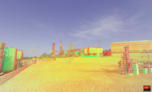
- Oil and Gas
- Plant & Industrial
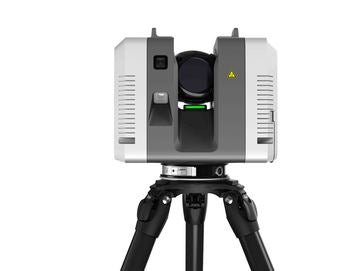
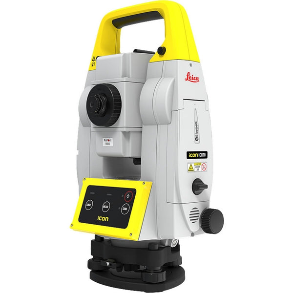
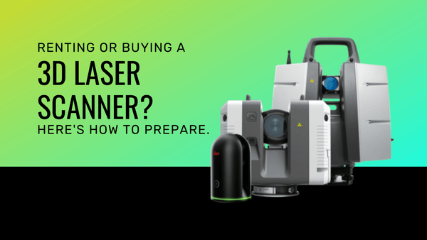
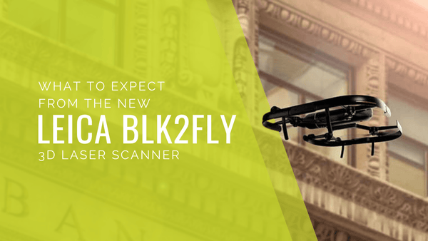
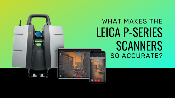
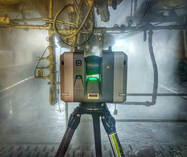
TOOLS WE USE FOR 3D LASER SCANNING
Our premier 3D laser scanning and surveying machines offer cutting-edge technology and unmatched precision for highly accurate and detailed point cloud data in various applications.d