3D Laser Scanner vs Total Station: Which You Need
The difference in one line: a 3D laser scanner captures everything around it, and a total station measures exactly the points you choose. One gives you a complete record. The other gives you precise coordinates. Those are different jobs, and most people asking this question need one of them far more than the other.
What a 3D laser scanner does
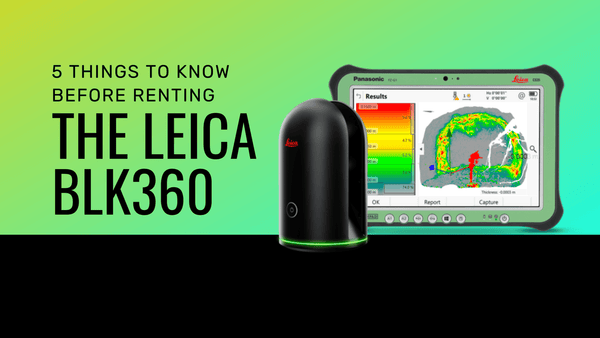
A scanner sits on a tripod and sweeps a laser across everything in line of sight, measuring hundreds of thousands to millions of points per second. The result is a point cloud: a dense three dimensional record where every surface the laser touched has a measured position.
You are not choosing what to measure. You are recording the whole space and deciding later what mattered. That is the defining characteristic, and it is the source of both the advantages and the limitations.
Scanners are the right tool when:
- You need existing conditions of a building or plant that has no reliable drawings
- The deliverable is a model, as in scan to BIM
- You need to verify what was built against what was designed
- You will not get another chance to visit, or the space is about to change
- You need a permanent record before walls close up
- The environment is hazardous and you want to measure it from a distance
What a total station does
A total station is an optical instrument that measures horizontal angles, vertical angles and distance to a single target at a time. Combine those three and you get a precise coordinate for that point. Modern robotic models track a prism automatically, so one person can work from the pole instead of standing behind the instrument.
It measures fewer points than a scanner by an enormous margin. What it gives you instead is control: each point is deliberately chosen, precisely measured and tied to a real coordinate system.
Total stations are the right tool when:
- You are setting out, laying out points on site from a design
- You need to verify specific dimensions or check verticality on formwork
- You are establishing control that other work will reference
- You need topographic or boundary survey data
- You are checking a handful of critical dimensions, not documenting a whole space
The distinction that actually matters
Layout is the clearest one. A scanner records what is there. A total station puts things where they should be.
If your task is to mark anchor bolt positions on a slab from a model, no scanner will do it. That is a total station job. If your task is to find out where the anchor bolts actually ended up across an entire floor, that is a scanner job.
The second distinction is density versus precision. A scanner gives you overwhelming coverage at good accuracy. A total station gives you sparse coverage at excellent accuracy. Which you want depends on whether your risk is missing something or being slightly off on something specific.
Side by side
| 3D Laser Scanner | Total Station | |
|---|---|---|
| Captures | Everything in line of sight | Individual chosen points |
| Output | Point cloud, millions of points | Coordinate list |
| Can do layout | No | Yes, this is its core job |
| Office work after | Significant: registration, cleanup, modeling | Minimal |
| Answers questions you did not plan for | Yes | No |
| Typical use | As-builts, scan to BIM, verification | Layout, control, checks |
When you want both
On serious projects the two work together, and this is the part most comparison articles miss.
A scanner produces geometry that is internally accurate but floating in its own coordinate system. A total station ties that geometry to real world coordinates. Shoot your scan targets with the total station and the point cloud lands in site coordinates, which means it can be compared against the design model and against future scans.
It also gives you an independent check. Measure the distance between two targets with the total station, compare against the same distance in the registered cloud, and you have verified your scan rather than assumed it.
The full case for having a total station on site while scanning
So which do you need?
Buy or rent a scanner if your work is documentation: as-builts, existing conditions, verification, handing a model to a design team.
Buy or rent a total station if your work is construction layout, control, or checking specific dimensions to tight tolerance.
You need both if you are scanning regularly and the data has to tie to site coordinates, or if you are doing layout and as-built verification on the same project.
If you are still unsure, the fastest way to find out is to rent the one you think you need and run it on a live job. That answers the question better than any specification sheet.
Laser scanners | Robotic total stations | Rentals
Talk it through with someone who uses both
We are an authorized Leica Geosystems dealer. We sell, rent, service and calibrate both instruments, and our own crews run them on live projects, so the advice is based on doing the work rather than reading the brochure.
Tell us what you are measuring and what you have to deliver, and we will tell you which instrument fits. Talk to our team.
Related reading: What is a 3D point cloud? | The best 3D laser scanners ranked by use case | Our scanning services