3D Laser Scanning: A Reliable Tool in Forensic Science and Public Safety
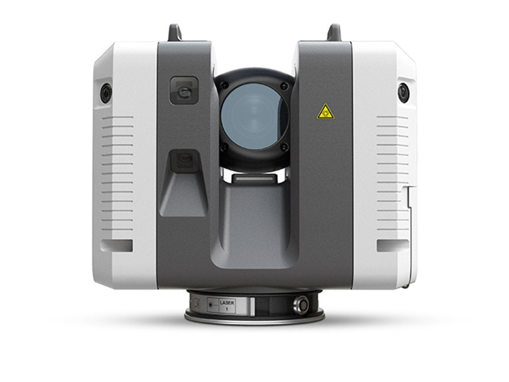
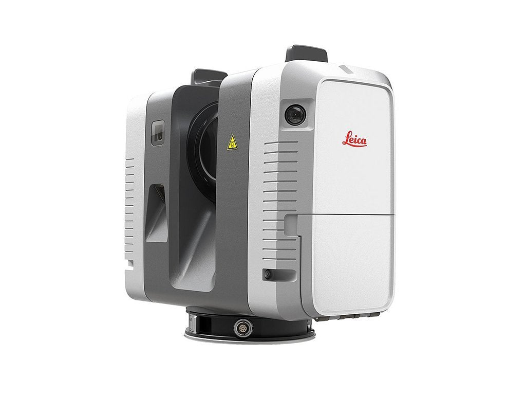
While you may know about the benefits of laser scanning for building projects, it’s also proven to be a reliable tool in the public safety sector. Products like the Leica RTC360 and Cyclone Software are user-friendly for people who have no background in using scanning devices.
3D laser scanning can bring detectives back to a crime scene. Investigators can access at any moment, even years later, highly-detailed virtual crime scenes, increasing planning and situational awareness.
To understand some of the benefits of laser scanning tools in forensic science, let’s review the products and how they work in the field.
What is the RTC360?
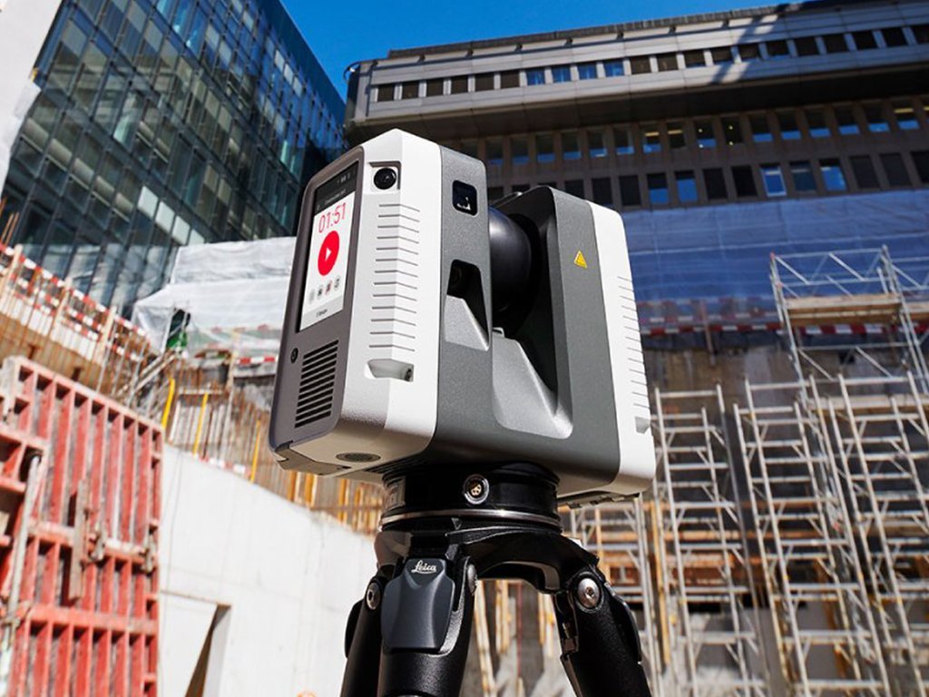
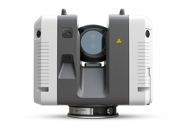
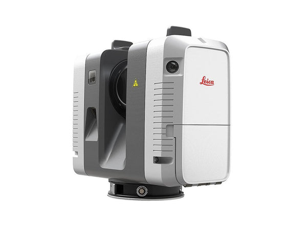
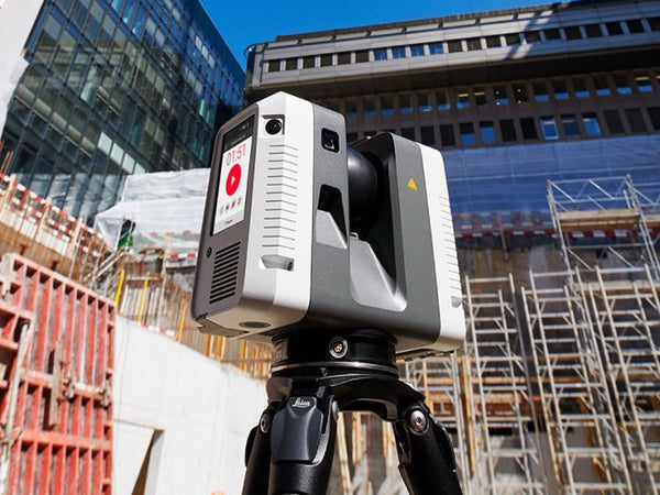
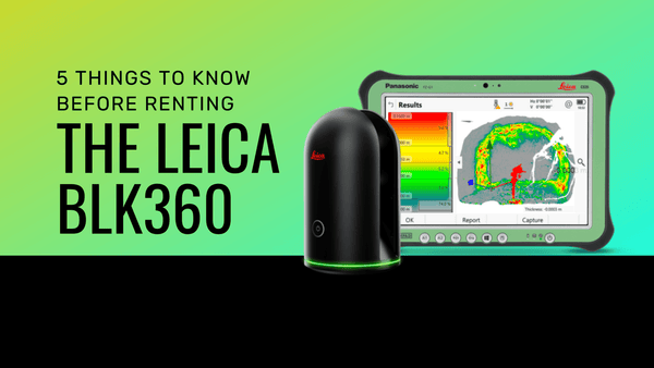
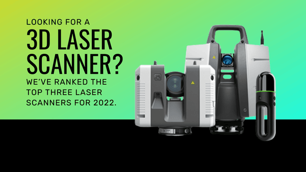
The Leica RTC360 Laser Scanner is an easy to use, precise scanning tool that captures environments in 3D. Within minutes, the RTC360 collects data and provides high-quality imagery and spatial data to streamline your workflow. That data captured shows results in real-time, even in environments that are challenging.
In investigations, the RTC360 can combine photographs, videos, and other traditional methods into a one-person, user-efficient experience.
What does Leica Cyclone software do?
The Leica Cyclone FIELD 360 mobile-device app is a field companion for the Leica RTC360 3D laser scanner to automatically capture, register, and examine scan and image data on-site. It provides all the deliverables you need in one place. Cyclone modules take users from start to finish for every type of point cloud project.
How laser scanning is used in public health and justice sectors:
- Radar enforcement on highways
- Traffic reconstruction
- Tactical planning
- Emergency management
- Disaster response
- Homeland security
- Post-blast analysis
The Leica Cyclone suite of software, for example, can empower public safety officials with the high-tech means to accurately record a crime scene. Colleagues, command staff, attorneys, judges, juries, and anyone with a stake in the outcome of a criminal or civil investigation can review the precise data and analyze the scene.
Case Study: Spokane PD uses laser scanning to map a challenging seven-acre scene.
Spokane Police Department Major Crime Unit Investigators were deployed to map a challenging environment, which included seven acres of woods, hills, and rocky outcroppings. Spokane PD used the RTC360 to document that environment and the topography.
The RTC360 proved to be fast, efficient, and “magic,” according to Investigator Paul Taylor. In less than four hours, Spokane PD gathered nearly a billion points of data, including 37 scans and high-dynamic-range (HDR) imagery.
When the prosecutor’s office “started seeing these terrestrial scans of crime scenes coming in from the Washington State Crime Lab, which has a Leica ScanStation P40,” Investigator Brian Shrier explains, “the prosecutor’s office requested that all diagramming of major crime scenes be done with a scanner.”
In this case, RTC360 delivered an immersive, 3D photorealistic digital reality environment that allowed users to view, move through, measure, and markup the scene as needed.
Want to learn more?
Datum Tech Solutions provides one-on-one training and ongoing tech support.
