Working from home? Elevate Your Skills with These Top Training Videos We Recommend

Surveying projects continue to move forward as many adjust to remote work while practicing social distancing. We can visit sites, assess safety concerns, take snapshots, and make measurements from anywhere on any device. Whether you're a seasoned professional or learning how to survey, there are many tools available to help you improve your skills during this time. In these videos, you’ll learn best practices and solutions for project productivity.
Here's a list of some of the top webinars we recommend to elevate your surveying skills.
Increasing Productivity and Collaboration with the Leica
Geosystems Total Software Solution
3D Laser Scanning can improve workflow and productivity for your projects. In this webinar, you'll learn best practices when capturing in the field and data management for efficient collaboration and communication between colleagues and clients. Learn how to select hardware and software that works best for your project so you can reduce the time spent in deploying and managing systems.
Related: How Laser Scanning Can Help You Get The Job Done While Social Distancing
Using multiple scanners on projects: how to combine Leica Geosystems HDS hardware and software solutions for ultimate project productivity
Get the most out of your projects by combining the RTC360, the BLK360, and Leica Cyclone REGISTER 360 software as a system solution and learn from real-life project workflows. In this 1-hour webinar, you'll learn how to improve your team's productivity using the latest Leica Geosystems reality capture solutions. This webinar also covers tips for working with the RTC360 over multiple days and managing data.
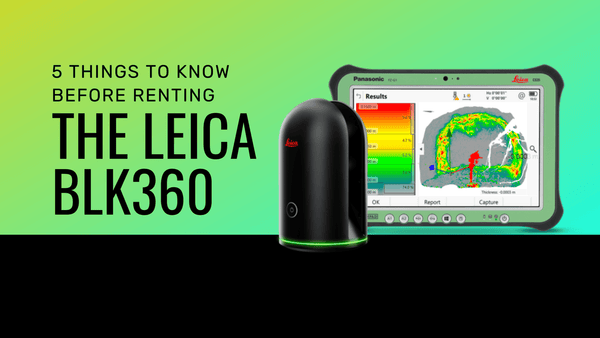
Related: Capture the world around you with Leica's BLK360 laser scanner
7 Best Practice Tips for AEC and Building Documentation
Want to maximize efficiency when laser scanning for rapid analysis? This training is for you. Learn top tips from industry expert, Clair Vander Zwaag, on how to optimize planning, data capture, and delivery to the client.
Related: Technology and Innovation in Today's AEC Community
Applications of Laser Scanning – Entertainment to Engineering
Laser scanning is used for various projects beyond engineering. See how data can provide meaningful information and improve the efficiency of projects. In this webinar, surveying solutions provider Coenradie, explains how they generate and interpret outputs such as 3D meshes and deviation reports to help make informed decisions for their projects.
Conclusion
As we move into a new reality of learning how to work while social distancing from our team members, it's essential to focus on safety and end results. Innovation and technology enable us to overcome hurdles and create new solutions. Learn how to succeed and thrive by brushing up on new skills in a virtual environment.
Interested in learning about our BIM training and support? Contact us today!
Connect with us on LinkedIn for the latest news and updates.