Maximizing the Value of Laser Scanning: Quality Control and Training is Always Key

When it comes to accurate and precise results, laser scanning tools deliver data in minutes. These tools can speed up building projects and streamline workflows. Yet, despite these huge advancements in technology, it is always a good idea to have someone check the work

Datum Tech Solutions is renowned for our comprehensive training and support on Building Information Modeling (BIM) solutions. Our goal is to streamline workflow to save our clients both time and money. Our one-on-one training approach and ongoing tech support offer a combination of hardware and software experience, creating a seamless integration between the employees in the field and the architects in the office.  

Training 

When using new tools, it’s not unusual to experience a learning curve. While robotic and non-robotic Total Stations, 3D scanners, and Global Positioning Systems are easy to use, we walk you through the process to make these tools work for you correctly, the first time. 

Schedule a call today to learn more about our high-level training services. 

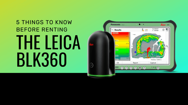
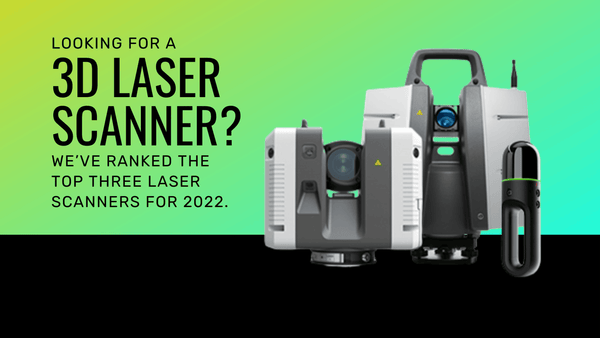
Many of the laser scanners are as simple as clicking a button, but a good training foundation can help spot errors in the field. Each product has its own unique attributes and may require specific methods of observation for quality control. 

Tools in the field

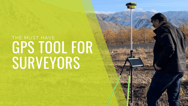
The iCON gps 70 T offers reliable traceability by storing tilt values with each measurement and improves the quality control of any measured point. The permanent tilt compensation extends the measurement possibilities on any construction site and enhances the quality and accuracy of the collected data. We offer on-site support, technical support, repairs, and preventative maintenance, carried out by experts. 

Conclusion 

Datum Tech Solutions is pushing the envelope by scanning what some would perceive as impossible. With our tools, knowledge in the industry, and hardware training, we train teams on how to succeed in both the office and the field. Our global team of highly-skilled and experienced support engineers and service technicians are committed to helping you meet your deadlines and reduce your downtime.


Interested in exploring reality capture technologies? 

Contact us today!

Our favorite products featured in this blog

iCON GPS 70 T

All of our products come with customizable packages designed to fit your company's specific needs. Please fill out the enquiry above and one of our experts will reach out shortly!

The Leica iCON gps 70 T features permanent tilt compensation, resistance to any magnetic interference and calibration-free usage. Measure and stakeout points quicker than ever before without the need to keep the pole vertical and level the bubble.

Active Customer Care

As a reliable partner, we offer an extensive range of customer services designed specifically for machine control and construction professionals. The wide range of technical services including on-site support, technical support, repairs and preventative maintenance are carried out by experts. Our global team of highly-skilled and experienced support engineers and service technicians are committed to help you meet your deadlines and reduce your downtime.

Easy-to-use Handheld Device

Combined with the Leica iCON gps 70 GNSS rover, you will benefit from the rugged and lightweight Leica iCON CC80 tablet computer. The iCON CC80 has a modern user interface with 7” sunlight readable multi-touchscreen – built to enable easy, mobile work on-site and increase productivity.


iCON Field Solution - Unmatched Simplicity

Leica iCON field offers a smart and customized positioning solution for all construction sites. Construction-tailored, intelligent software applications, workflows, and an innovative software design result in improved performance. Seamlessly integrating into all iCON sensors and Leica ConX, Leica Geosystems provides all the tools to increase the efficiency of your field operations. The iCON gps 70 Series follows this concept and perfectly complements the existing iCON field solution.


Tilt - Traceability - Trust

With the Leica iCON gps 70 T there is no need to hold the pole vertical and level the bubble when measuring. Reliable traceability by storing tilt values with each measurement improves the quality control of any measured point. The permanent tilt compensation extends the measurement possibilities on any construction site and improves quality and accuracy of the collected data.

Data Spec Sheets

Product in-use

Leica iCON 70t


Videos

5 Things To Know Before You Rent A Leica BLK360 - Datum Tech Solutions
5 Things To Know Before You Rent A Leica BLK360
Must-Have 3D Laser Scanners Ranked - Datum Tech Solutions
Must-Have 3D Laser Scanners Ranked
The Must Have GPS Tool For Surveying Professionals In 2022 - Datum Tech Solutions
The Must Have GPS Tool For Surveying Professionals In 2022