3 Court Cases Won With Forensic 3D Scan Data
A jury cannot visit a crime scene as it was on the night in question. That is the problem 3D laser scanning solves in a courtroom. A scan captures the scene in millions of measured points, and months or years later a jury can move through it, look from where a witness stood, and see the distances for themselves.
Three cases below show what that has actually meant in practice, and what forensic teams should take from them.
Why scanning changed forensic documentation
Documenting a scene by hand is slow, and the clock is always running. Roads need to reopen. Weather moves in. Evidence degrades. A traditional workflow means photographs, sketches and tape measurements, each captured by a person deciding in the moment what will matter later.
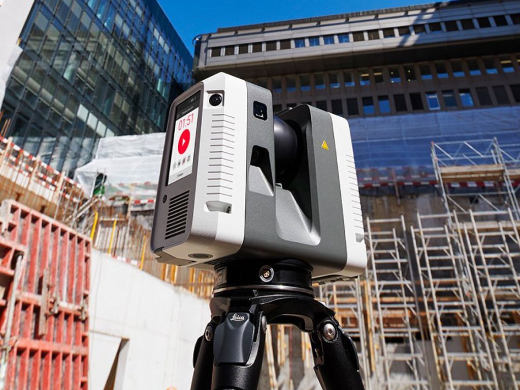
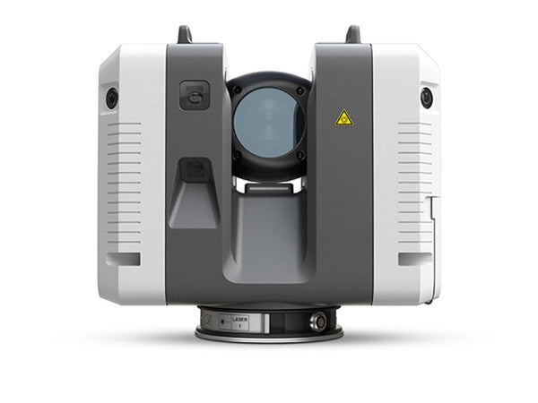
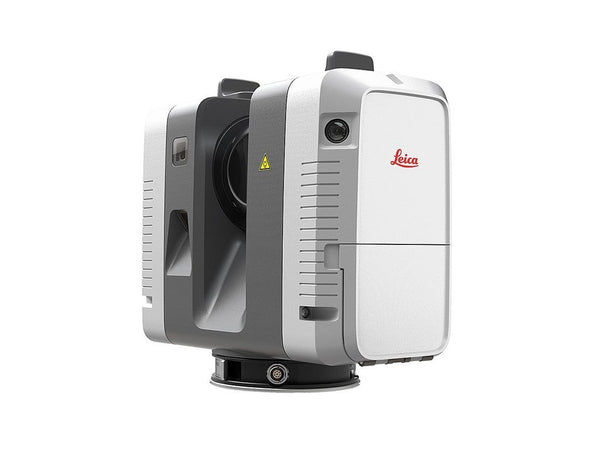
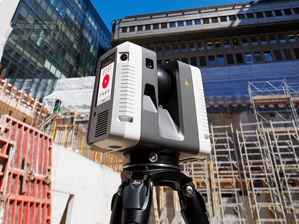
That last part is the real limitation. Hand measurement only records what somebody thought to measure. A laser scanner records everything within line of sight, at survey grade accuracy, in minutes. The question nobody thought to ask on the night can still be answered three years later, because the measurement is already in the data.
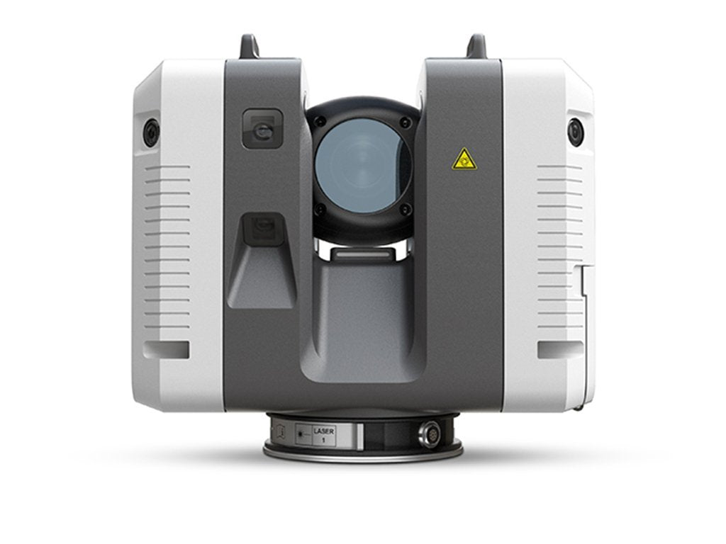
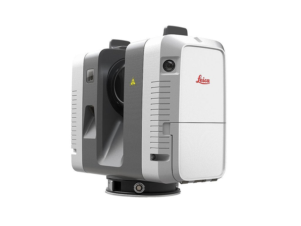
That is also why scan data holds up under cross examination. It is not an interpretation of the scene. It is a measurement of it, with a documented chain of custody and a known accuracy specification.
Court Case #1: The Antonio Jerome Greenlee homicide trial
The prosecution in the Greenlee case used 3D imagery captured with Leica instruments to reconstruct the scene of Ebony Clarke's death following an altercation in the street.
Using Leica TruView, jurors were able to take a virtual tour of the scene and move through how the shooting took place. What mattered most was sightlines: the technology let the jury understand where each witness had been standing in relation to Greenlee, and therefore what each of them could and could not have seen.
That is difficult to convey with photographs. A photograph shows one viewpoint chosen by whoever held the camera. A point cloud lets the jury choose the viewpoint, including the one a specific witness had.
After the conviction, jurors said the technology helped them understand and visualize the scene. That is the outcome forensic teams are aiming at: not a more impressive exhibit, but a jury that genuinely understands the space.
Court Case #2: The Marietta, Georgia assault and murder trial
In 2013, four teenagers assaulted a man at a Chevron gas station in Marietta, Georgia, beating him unconscious and leaving him in the street, where he was struck by a vehicle and killed.
At trial, 3D scans conveyed something photographs struggle with: scale. The scene covered a forecourt, a roadway and the space between them, and the case turned on the relationship between those areas. How far the victim was left from the traffic lane. Where witnesses stood relative to the assault. How much of it each of them could see.
Where no weapon is involved, the prosecution has to show a jury how a sequence of actions led to a death. A scan lets them do it spatially rather than verbally, with distances that are measured rather than estimated.
Court Case #3: Unidentified human remains and the RCMP
The third case is not a courtroom at all, and it points at where this technology goes next.
An initiative involving the Royal Canadian Mounted Police used 3D scanning to capture human remains, including skulls, in support of missing persons investigations. Digitally recreating the remains preserves them precisely as recovered, so the physical evidence can be released or interred while the measurable record stays available.
Missing persons cases can take decades. A scan taken today can be re-examined with software that has not been written yet, by an investigator who has not been hired yet. That is a different value proposition from documenting a single trial, and it applies to any evidence that degrades or has to be returned.
What forensic teams should take from these
- Scan early and scan everything. The value is in the questions you did not know to ask. Capture the whole scene, not just the part that seems relevant at 2am.
- Sightlines win cases. In two of the three cases above, what mattered was what a specific person could see from a specific position. That is exactly what a point cloud answers and a photograph cannot.
- Get control on the ground. Tying scans to real coordinates with a total station makes the data defensible and lets you combine it with other evidence later. Why a total station belongs alongside the scanner.
- Plan how it reaches the jury. Capturing the data is half of it. Deciding how a non-technical jury will navigate it is the other half, and TruView exists precisely so that people who have never opened CAD software can walk through a scene in a browser.
- Document the workflow. Instrument, accuracy specification, operator, registration method. Expect all of it to be challenged, and have the answers ready.
Getting started with forensic scanning
Most agencies begin by renting an instrument for a specific case before committing to a purchase, which is a sensible way to find out how scanning fits your existing workflow. Some bring us in to capture the scene and hand over the deliverable.
Either route, the equipment is the easy part. The training and the workflow are what determine whether the data holds up. We are an authorized Leica Geosystems dealer and we support public safety agencies with both.
How 3D scanning documents crime scenes step by step
Four benefits of scanning for public safety workflows
Laser scanners | Rentals | Talk to our team