How Did We Get Here? The History of Surveying Equipment in the States
From Plum Bob to Total Station
The presence of survey equipment can be found in the deepest corners of early civilization. Some of the earliest methods were recognized to have derived from Ancient Egypt, where tools such as the plum bob first made their appearance in history. More advanced survey technology began appearing in the early 1900's when the world's first portable opto-mechanical theodolite surfaced (1921).
"For much of the 20th century, in fact, the development of survey equipment could be appropriately described as slow going."
Nine years later, the first aerial device capable of capturing photographs was established. It would not be until 1960 when the very first infrared-based distancer would be developed. For much of the 20th century, in fact, the development of survey equipment could be appropriately described as slow going. Things would not speed up until the implementation of GPS into surveying (1980) and the introduction of the first industrial laser tracker (1990). Fast forward a mere three decades later, and one will quickly see that, in the past 28 years, survey equipment has developed three times faster than it did during the entirety of the 19th Century.
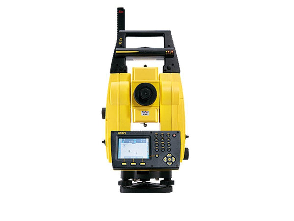
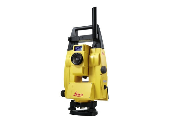
The first total station made its debut in the United States back in 1968. However, when one glances back into American history, one can see that much of the old surveying equipment is far from today’s Robotic Total Station. So, how did surveying equipment advance so quickly on American soil, and what circumstances lead this extravagant technological inclination?
Land Surveying in the 17th Century
In the late 17th Century, land surveying in the New World was crucial. In North America, where colonies were vastly developing, precise boundaries needed to be established for land grants, village roads, and common property. However, early settlers were faced with a huge problem: land surveying equipment was not adequate for the mountainous terrain that was buried beneath deep forests.

The Gunter’s chain could measure distance on inconsistent surfaces while the surveying compass enabled precise angles for corner pieces of land to be accurately measured. | photo: Rushden Research
It was not until John Love introduced the Gunter’s chain and the surveyor’s compass to the field that land surveying met a new level of efficiency. The Gunter’s chain offered a method to measure distance on inconsistent surfaces—in 66 ft. increments—while the surveying compass enabled precise angles for corner pieces of land to be accurately measured. These two inventions flipped the land surveying world on its head and remained in strict practice for much of the following century.
The 18th Century & Beyond
Shortly after the Revolutionary War, there was a great need for the newly birthed United States to establish final borders. To do so both proficiently and quickly, something of dire importance had to occur: surveying equipment needed a drastic technological advancement.
The Zenith Telescope was just what the early government needed to lay exact borders around states and to precisely separate those states into smaller towns. Although the larger telescopes were used to map the sky, smaller scopes proved perfect for geodetic functionalities; proving to be a powerful ally in early land surveying.

The Zenith Telescope was just what the early government needed to lay borders around states and then separate those states into smaller towns. | photo: ETC, University of South Florida.
The 19th Century marked the beginning of an advanced group of dedicated engineers called the Army Corp of Engineers. With the rise of the West, a great deal of mapping and surveying needed to be done; and it had to be done fast. The Army Corp of Engineers worked around the clock, searching for innovations in the field of surveying and successfully mapping the newfound West. Other technologically advanced tools such as United States Deputy Surveyor William Austin Burt’s solar compass were constructed during this period, too.
Where to Next?
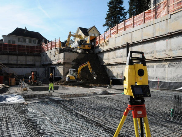
Surveying technology exploded with advancement after the Industrial Revolution. The first total station was developed in the mid-20th Century where soon after the robotic total station would find its way into numerous industries. Although vastly used for building development and other innovative construction solutions, the robotic total station has found a future in many industries.
"Even paleontologists have begun exploring the use of robotic total stations in recovering fossils."
Today, the total station has been a significant asset for monitoring dynamic displacements of relatively stiff bridges and has proven to be a useful tool for structural health monitoring. Expert engineers are working on improving certain functionalities to use robotic total stations for large-scale public safety efforts such as monitoring dangerous landslides. Even paleontologists have begun exploring the use of robotic total stations in recovering fossils.
Leica Geosystems: Industry Innovators for 200 Years
With over 1,000 patents--many which have been registered in the last decade--Leica Geosystems is one of today's top leaders in construction technology. Since their introduction of the first universal GPS/TPS surveying system and mobile coordinate measurement technology system back in the year 2000--Leica T-Probe and Leica T-Scan--Leica has been constantly raising the bar in construction technology at an astounding rate.
"...even amidst lucrative growth and development, Leica was just getting started."
In the decade to come, Leica would release a line of revolutionary technology, including the first future proof GNSS-System--Leica GPS1200+--a never-before-seen high precision total station--the Leica TS30 with Piezo drives--and the world's first multi-spectral 60 MP airborne camera--Leica RCD30. However, even amidst lucrative growth and development, Leica was just getting started.
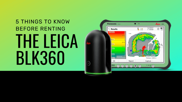
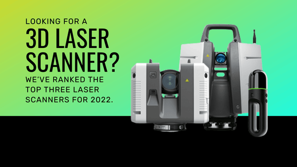
In the last eight years, Leica has developed the first airborne laser scanner with 500 KHz puls rate--Leica ALS70--revolutionary total stations such as the Nova MS50 MultiStation, and precision laser systems such as the BLK360 and the RTC360.
Leica changed the game with the RTC360
It's pretty amazing to think how far survey equipment has trekked since its inception in early civilization. From basic tools and small telescopes to present wonders and future innovations, it is fascinating to see how much this technology has developed over time. One thing is for sure. Even the early pioneers of survey equipment--some of history's biggest dreamers and greatest craftsmen--would have a difficult time fathoming today's construction technology.
